After two weeks of relentless atmospheric rivers and record-breaking flooding, the severe weather affecting Washington State is finally easing. Meteorologist Scott Sistek confirmed that the worst has passed, following a powerful windstorm that left approximately 380,000 customers without power across the state, impacting nearly one million people. The outages stemmed from high winds that battered the region overnight, particularly affecting areas like Whidbey Island and Snohomish County.
Utilities typically count each power meter as one customer, meaning that multi-unit buildings are represented as single units. As a result, the actual number of individuals affected tends to be two to three times higher than the reported customer count. Despite the windstorm’s potential for damage, Sistek noted that the situation was not as catastrophic as some forecasts had suggested.
Reflecting on the recent weather events, Sistek compared this period to the notorious winters of 1990 and 1996, which also featured severe flooding followed by snow and Arctic blasts. He expressed concern that power outages could have escalated further, saying, “Even going into late last night, we were really bracing ourselves, thinking it could be a lot more.”
For communities along the Green, Skagit, Snohomish, Snoqualmie, and White Rivers, relief is on the way. “I looked, there’s no purple on the river forecast map anymore,” Sistek stated, indicating that the major flood warnings have subsided. The transition from warm rain to cooler temperatures has led to snowfall in the mountains, significantly reducing runoff that had swollen the rivers.
With the change in weather patterns, Sistek emphasized the positive implications for Washington’s water supply and its ski resorts. Snoqualmie Pass, which previously reported virtually no snowpack, is expected to receive between 10 to 15 inches from this latest storm, helping to build vital snowpack levels. Long-range forecasts suggest that wet and cool conditions will persist through the Christmas holiday and into the New Year, further enhancing the mountain snowpack essential for summer water resources.
Sistek maintained a cautious approach regarding future predictions, acknowledging that some models suggest lower snow levels for the upcoming week. “It’s probably higher. I haven’t done the statistical analysis,” he remarked, indicating uncertainty about the precise figures.
As of now, only two rivers are at Flood Phase 4, the highest and most dangerous warning level, while six additional rivers remain at Flood Phase 3. The recent storm, characterized by gusts of 50-70 mph, struck between 11 p.m. and 2 a.m., creating hazardous conditions with saturated soils leading to downed trees and widespread power outages.
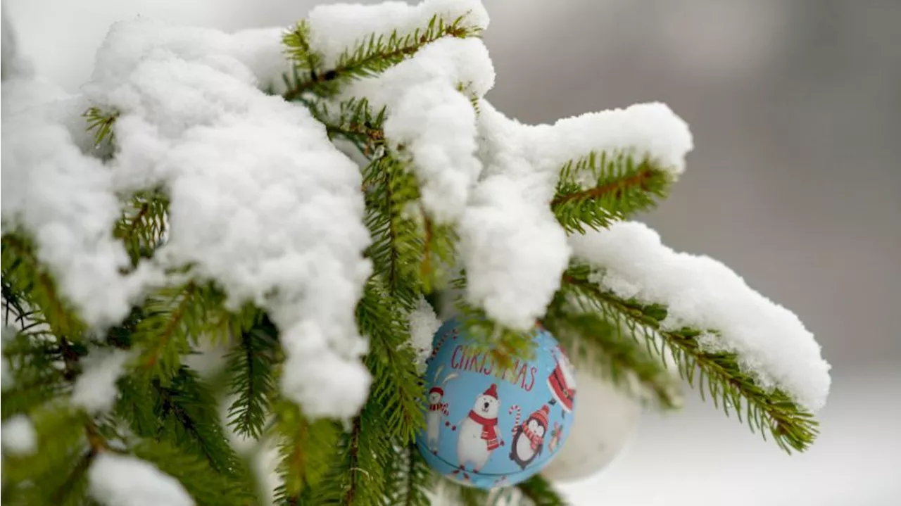
Looking ahead, the weather pattern indicates a potential for a white Christmas in the Seattle area, with conditions shifting positively. Although the recent storms have brought challenges, they may also provide the festive winter landscape many hope to see this holiday season.


