URGENT UPDATE: A severe cold snap is set to hit Southeast Georgia and Northeast Florida overnight, bringing freezing temperatures and frost warnings as the new year begins. A Freeze Warning is in effect for inland areas, while a Frost Advisory is issued for coastal regions, including parts of Flagler County. Both alerts will be in effect from 3 a.m. to 8 a.m. Thursday.
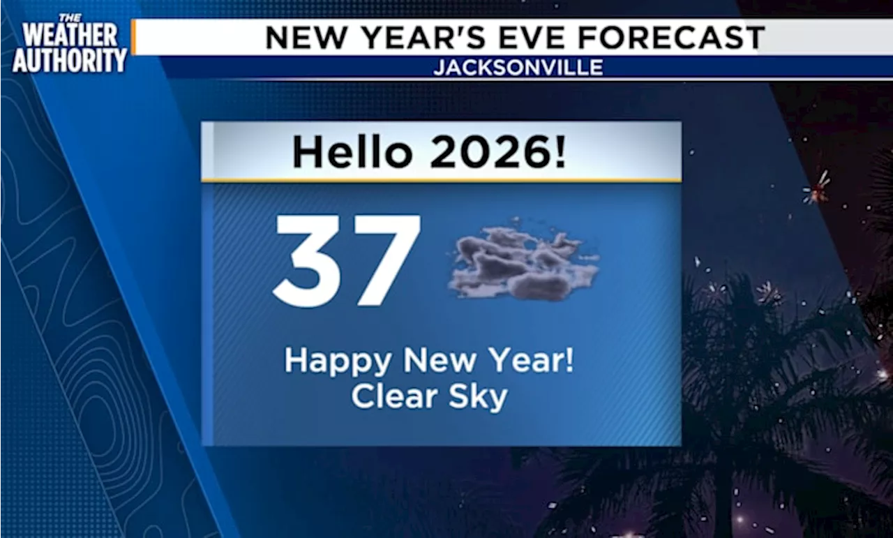
Temperatures today were milder, but clear skies are expected to cause a dramatic drop overnight, with wind chills making it feel even colder. While areas east of I-95 may not dip below freezing, frosty conditions pose a risk to sensitive plants and could impact outdoor activities.
Residents are urged to take precautions for their plants, pets, and personal comfort during this cold snap. The National Weather Service warns that while northwesterly winds will ease, a slight wind chill will still be felt across the region.
Looking ahead, temperatures will begin to rise on Friday afternoon in anticipation of a new cold front that is expected to bring rain and isolated thunderstorms to both Southeast Georgia and Northeast Florida on Saturday.
“The coldest weather of the winter is upon us, and it’s crucial for residents to prepare,” says meteorologist Michelle McCormick of News4JAX.
This cold snap follows a series of weather fluctuations in the region, raising concerns about how the cold might affect local agriculture and outdoor activities. Residents are reminded to stay updated on weather developments and to check on vulnerable neighbors during this chilly period.
As the community braces for the cold, many are sharing tips on social media for keeping warm and protecting outdoor plants. The urgency of this weather alert makes it essential for everyone to stay informed and take the necessary precautions.
Stay tuned for updates as conditions develop and be prepared for a chilly start to 2025!