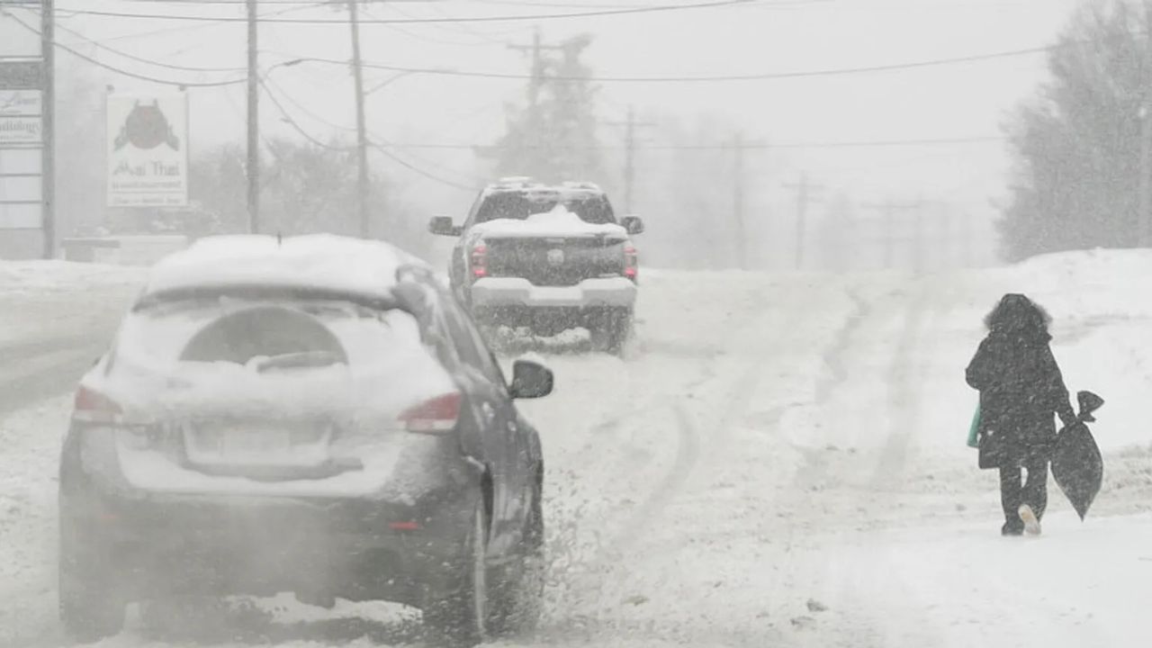
UPDATE: A powerful winter storm is wreaking havoc across New York City and the Tri-State area today, February 22, 2026, delivering life-threatening cold and heavy snowfall. Blizzard warnings are in effect, with forecasts predicting up to 17 inches of snow in NYC and potentially two feet in surrounding regions, marking this as one of the most severe storms in recent years.
The National Weather Service warns that heavy, wet snow will fall at rates of up to 2 inches per hour, transitioning to sleet and ice in coastal areas like Long Island and the I-95 corridor. Wind gusts are expected to reach 35-70 mph, creating near-blizzard conditions characterized by low visibility and whiteouts that could persist through Monday. Temperatures have plummeted below freezing, with wind chills dropping below 0°F, colder than any sustained period in NYC over the past eight years.
Blizzard warnings cover a broad area, including New Jersey, Connecticut, and parts of Pennsylvania, with substantial to extreme impacts anticipated according to NOAA’s Winter Storm Severity Index. The heaviest accumulations—over 12 inches—are forecasted east and southeast of I-95, stretching from Philadelphia through NYC to Boston, while coastal zones face a higher risk of sleet and ice, leading to potential power outages.
Here’s a breakdown of expected snowfall and associated risks:
– **NYC Core:** 6-17 inches, with whiteouts and heavy snow rates.
– **Long Island / Coastal NJ:** 6-12 inches with an icy mix, creating hazardous roads.
– **Hudson Valley / Inland CT:** 12-24 inches, resulting in severe blizzard conditions.
– **Philadelphia to Boston:** More than 12 inches, leading to extreme impacts and possible flooding.
In response to hazardous conditions, DoorDash has suspended operations in NYC until at least Monday at 10 a.m.. NYC’s Code Blue is active, ensuring homeless shelters remain open 24/7 amid the severe cold. Schools, medical facilities, and major transit systems—including subways and flights—are facing widespread closures or delays. With 2,300 sanitation plows deployed after just 2 inches accumulate, commute conditions for Monday are deemed “extremely hazardous.”
As the storm unfolds, at least five New Yorkers have been found deceased outdoors, highlighting the perilous combination of extreme cold and heavy snowfall. This storm brings to mind the devastation of the 1888 Great Blizzard, which resulted in nearly 400 deaths and 15-foot snow drifts, underscoring the modern risks posed by infrastructure strain and prolonged sub-zero temperatures expected into next week. Reports of power outages from ice and winds are rising, with emergency states declared in New Jersey.
Residents are urged to avoid travel, stock up on essentials, and heed local alerts. NYC Emergency Management is advising precautions against hypothermia as plowing efforts prioritize major arteries, but side streets may remain treacherous.
This high-impact storm demands vigilance through Monday, as snow tapers but the cold lingers, potentially rivaling historic events in disruption. Stay informed via official channels to minimize risks and ensure safety during this severe weather event.