URGENT UPDATE: A severe weather shift is set to impact the region as a cold front brings a mix of light snow and freezing rain starting tonight. Residents should prepare for challenging travel conditions, especially on Monday morning, as temperatures plunge and precipitation intensifies.
Today, December 25, will see sunny yet frigid conditions, with highs ranging between 10°F and 22°F across the area. Winds will ease significantly, providing a brief respite from the harsh conditions. However, clouds will thicken this evening ahead of a new weather system.
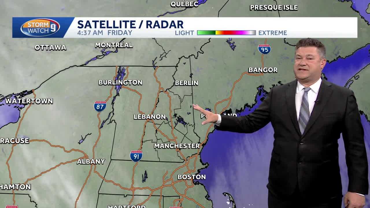
Expect light snow to begin after 10:00 PM tonight, continuing until 6:00 AM Saturday. This snowfall will predominantly affect areas south and west of Laconia, creating slippery roads and potential hazards for commuters.
As we move into Saturday, clearing skies will emerge, but temperatures will remain chilly, staying in the 20s. Enjoy a brief warm-up on Sunday as milder air approaches, but be warned: a mix of sleet and freezing rain is anticipated Sunday night, transitioning to rain for most areas by Monday.
The combination of freezing rain and sleet could lead to treacherous travel conditions early Monday, with significant slowdowns expected on the roads. However, conditions are predicted to improve later in the afternoon, providing a safer travel window.
Stay tuned for further updates as weather developments unfold, and prioritize safety if you plan to travel during this time. Officials recommend checking local forecasts and road conditions frequently as the situation evolves.
This storm could impact holiday plans and routines, bringing a mix of challenges and reminders of winter’s grip as we head toward 2026. Share this urgent weather alert with friends and family to keep everyone informed and safe during this unpredictable winter weather.