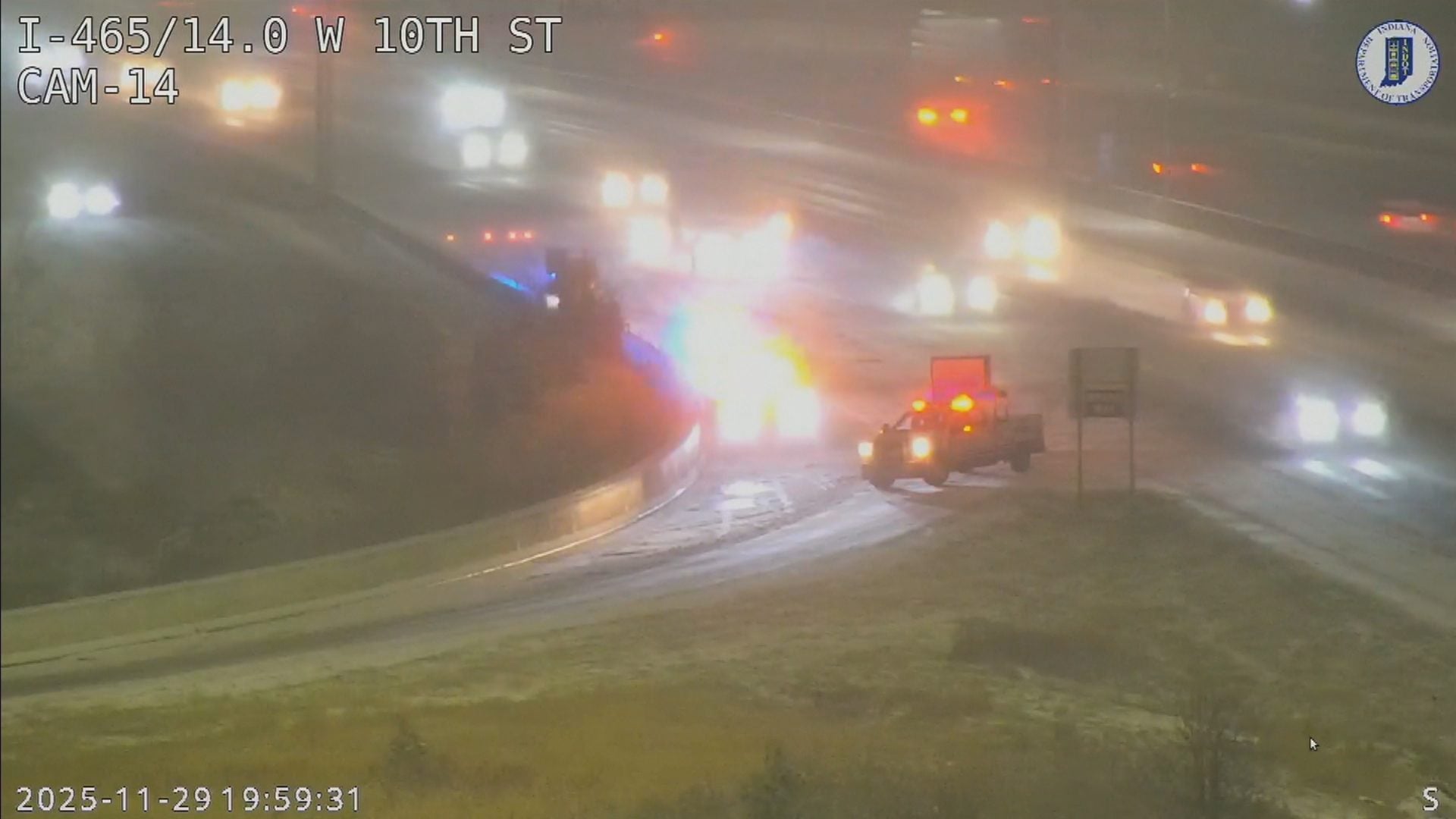
UPDATE: A powerful winter storm, described as a “bomb cyclone,” is set to impact the Philadelphia area this weekend, with significant cold and potential coastal flooding. The storm is expected to generate winds that could reach up to 40 mph along the Jersey Shore, while temperatures plunge to single digits, resulting in dangerous wind chills as low as -10°F.
Forecasts indicate that while Philadelphia itself may see little to no snow, the surrounding areas could face accumulating snow, particularly at the Shore. The combination of fierce onshore winds and a full moon could lead to severe tidal flooding along the coast, raising concerns for residents and visitors alike.
Authorities confirm that temperatures will flirt with zero degrees on both Friday and Saturday mornings, marking one of the most significant Arctic outbreaks in the region’s recorded history. “Even though there might not be much or any snow in Philly, it’s going to be cold, and we’re still going to have the wind impacts,” said Mike Silva, a meteorologist with the National Weather Service in Mount Holly.
Weather experts are monitoring the situation closely. Tom Kines, senior meteorologist with AccuWeather, noted that while current predictions show a 50% chance of measurable snow (at least 0.1 inches) in Philadelphia Saturday night into Sunday, any slight shift in the storm’s path could drastically change the forecast. The situation remains fluid, and updates will be provided as conditions evolve.
The storm is anticipated to intensify rapidly as it interacts with warmer waters from the Gulf Stream, leading to what meteorologists define as “bomb” status—a drop in central barometric pressure of 0.7 inches in less than 24 hours. This kind of storm formation has historically impacted the East Coast, prompting officials to urge caution among residents.
As the storm approaches, officials are advising residents in affected areas to prepare for potential power outages and hazardous travel conditions. With the ongoing cold snap, the anticipated snow later next week could further complicate recovery efforts.
The upcoming workweek will see a slight moderation in temperatures, with highs expected to hover around freezing from Monday through Thursday, but those still reeling from the impact of the weekend storm should brace for lingering effects, including snow cover that will persist for days.
Stay tuned for more updates as this developing situation unfolds, and prioritize safety as the winter storm approaches.